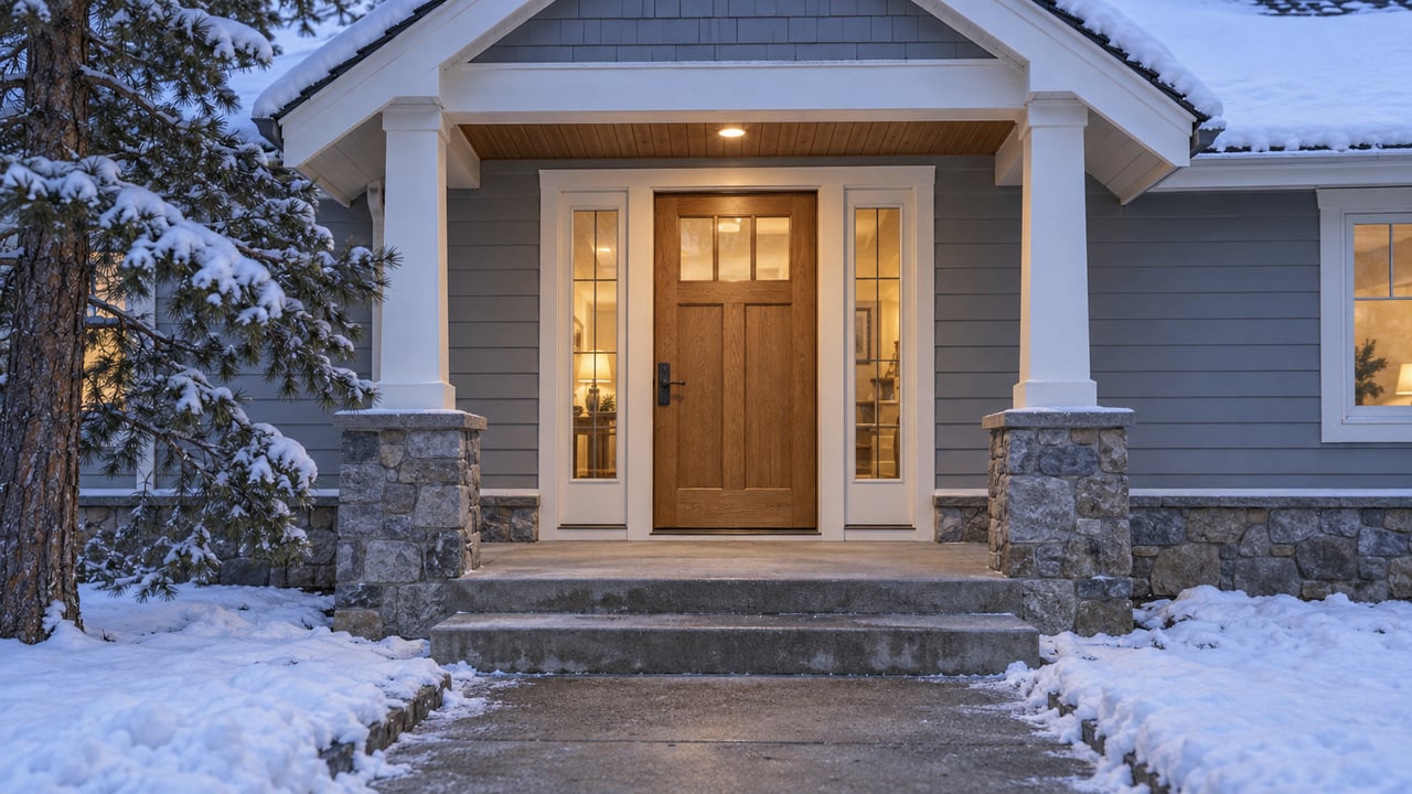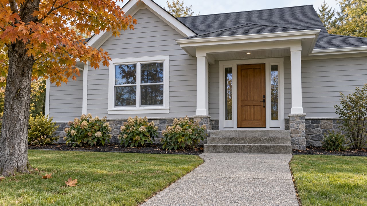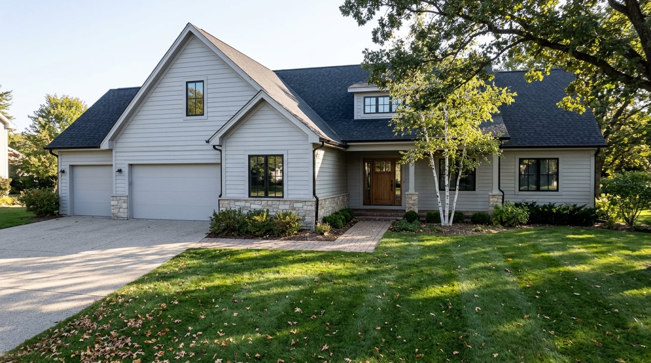
Most guides to outdoor recreation around Bemidji treat Wilton as a dot you pass through on the way to somewhere else. That framing misses the actual geography. The regional trail system's own trailhead sits inside Wilton's town limits, not fifteen minutes down a county road. For residents, that changes the daily calculus from "where do I drive to ride or hike" to "which direction do I walk from the house."
The distinction matters more than it sounds like it should, because Wilton also has a second recreation site that works the opposite way, and knowing which is which is the kind of thing you only pick up by living here a while.
The Town Is Trailhead One, Not Mile Fifteen
Wilton Trails Northwest begins west of Bemidji and travels 33 miles northwest through the towns of Wilton and Pinewood, with the old Soo Line railroad grade serving as the trail system's backbone and smaller looping trails diverging from it. The Minnesota DNR lists it plainly as 33 miles of mixed use trail for ATVs, off-highway motorcycles, and snowmobiles, with trails also open to horseback riding, hiking, and bicycling.
What most descriptions leave out is where you actually get on. Trailhead locations are at the south parking lot at Northland Regional Sports Park and at "Pete's Place West" in Wilton. That second access point is not a scenic pullout somewhere along the corridor. It is in town. If you live in Wilton, the trail system does not start after a drive. It starts at the edge of the block.
That is the piece that separates Wilton from the surrounding townships that also border state forest and rail-grade trail. A lot of northern Minnesota communities are near a trail system. Wilton is one of the towns the trail system is built to include as a starting point, alongside Pinewood at the other end.
Two Systems, Two Different Calendars
The confusion locals eventually sort out, and newcomers usually don't for a year or two, is that Wilton actually has two separate recreation areas, and they don't run on the same rules.
| Wilton Trails NW | Wilton Hill Recreation Area | |
|---|---|---|
| Where it starts | In town, at Pete's Place West | 1.5 miles southwest of town |
| Backbone | Old Soo Line rail grade | Reclaimed gravel pit and a hillside trail |
| Length or size | 33 miles | 230 acres |
| Allowed uses | ATV, off-highway motorcycle, snowmobile, horseback, hiking, bicycling | Motorized use on the gravel pit; non-motorized trail to the old fire tower site |
| Winter status | Multi-use corridor, snowmobile included | Not plowed |
| Amenities | Multiple trailheads | None beyond a primitive boat access |
The practical read: Wilton Trails NW is the default, the thing you use routinely because it's close and it's built for more or less any way you want to move through the woods. Wilton Hill is the bonus trip. It's close enough to matter, but it functions on its own terms.
The Hill With the Old Fire Tower
Wilton Hill is a 230-acre day-use recreation area located approximately 1.5 miles southwest of Wilton. The name undersells what's actually there. In summer, the site hosts a large reclaimed gravel pit opened to motorized use, along with a non-motorized trail that climbs to the old site of a fire tower atop a 1,513-foot hill. That's a genuine elevation point in a region that's mostly flat outwash and rolling moraine, and it's a five-minute drive from downtown.
The catch is that the county treats it as exactly what it is: a day-use site with almost no infrastructure.
- Amenities are limited to a primitive boat access to Heltzer Lake, with nothing else on site.
- Overnight camping isn't allowed anywhere on the property.
- Fireworks and firecrackers are prohibited.
- Winter access is not plowed, though snowmobiles, ATVs, and foot traffic are still allowed to get in on their own.
That last point is the one that trips people up who assume every recreation area near a snowmobile-heavy county gets serviced the same way in winter. Wilton Hill doesn't. You're on your own to get in, which is fine if you're already equipped for it and mildly frustrating if you show up expecting a plowed lot.
Grant Lake and the Bigger Forest Next Door
Wilton also sits at the edge of a much larger piece of public land. The Mississippi Headwaters State Forest, located on Grant Lake, covers roughly 45,290 acres of land and lakes and offers hunting opportunities, picnic areas, and recreation trails. It's not a Wilton-only property. Portions of the forest extend into the neighboring counties of Clearwater and Hubbard, and the Minnesota DNR directly manages around 9,000 of the total acres, with the rest handled by the respective counties.
For a Wilton resident, that means the forest functions less like a single destination and more like a backdrop that starts nearby and keeps going. It's also where one of the more specific seasonal notes in this whole area comes from. Wild rice, Minnesota's state grain, grows abundantly along the shores of the Mississippi River in the forest and can be harvested when ripe unless an area is posted otherwise, though collecting it requires a license. It's one of those activities that's genuinely local rather than something built for visitors passing through, and it depends entirely on the rice itself rather than a fixed date on a calendar.
Reading the Calendar in Early August
Right now, in the first half of August, both of Wilton's motorized options are fully live. The gravel pit at Wilton Hill is open for motorized use, and the Soo Line grade through town is carrying its usual mix of ATVs and off-highway motorcycles.
Come the shoulder season, the two systems diverge again. Wilton Trails NW keeps functioning as a snowmobile corridor once conditions allow, because that's one of its three permitted motorized uses. Wilton Hill goes quiet in a different way. Nobody plows it, so it sits there unmaintained through the winter, technically open to snowmobile, ATV, and foot traffic but without any county effort to make that easy.
None of this is dramatic. It's the kind of rhythm you only notice if you're actually using the land instead of reading about it from a website that lists trails and coordinates. But it's the reason a resident's answer to "what do you do on a Saturday" sounds different depending on which side of town they're standing on. Some weekends it's the gravel pit and the old fire tower. Most weekends it's just walking out toward Pete's Place West and picking a direction on the grade.
That's the actual case for Wilton as a place to live, separate from anything a listing sheet could tell you. The trail system isn't nearby. It runs through the middle of town.
If you're weighing Wilton against other spots in Beltrami County, or you're already here and thinking about what's next, Crystal Lakes Real Estate works this area block by block, not just the map. Let's Connect.
This article is general information, not legal, tax or financial advice. Consult a qualified professional about your situation.